Arriving on the Big Island, it was immediately clear that the island is volcanic. Looking from the airplane window, the ground was covered with a blackish-red, porous rock. Also, when I walked out of the airport, I noticed it was overcast unlike any of the other islands. I was greeted by biological technician, Lindsey Kramer, who explained to me that it was “vog,” or volcano fog, that hung in the atmosphere.
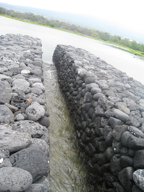
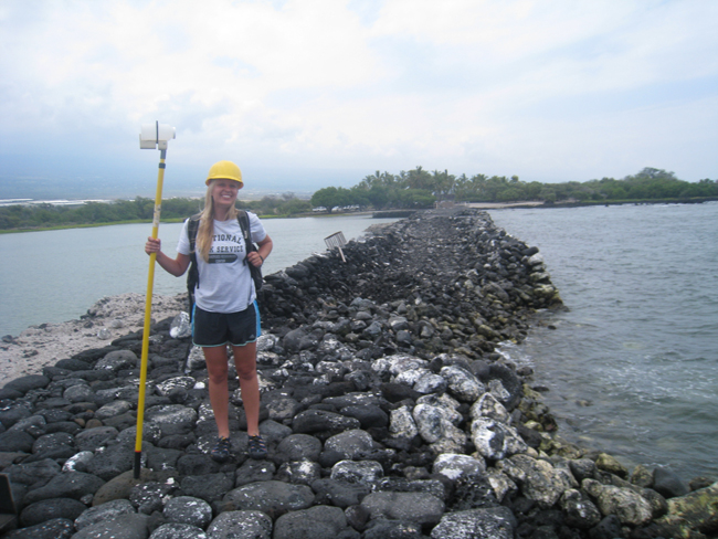
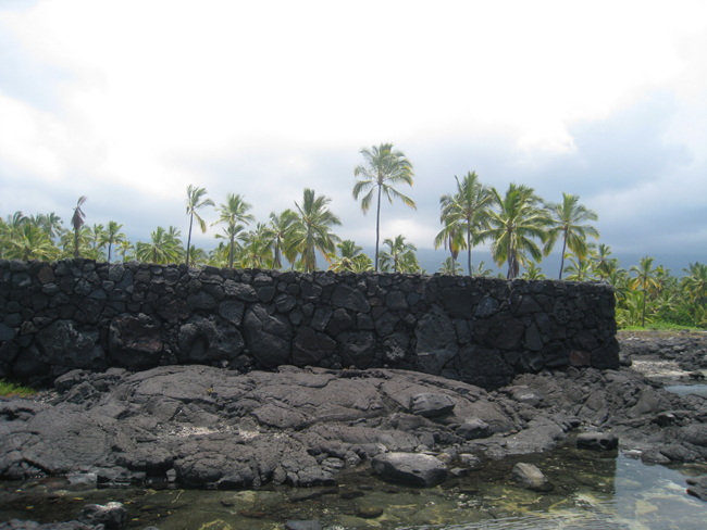
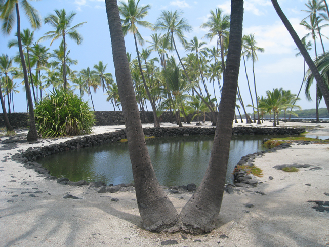
During my two week stay I dove with the Kaloko-Honokohau resource management team to do coral reef surveys as well as work on other projects. Kaloko-Honokohau National Historical Park was established in 1978 and preserves the coastal sections of two ahupu’a or traditional land divisions of Kaloko and Honokohau. This area of land extends from the upper slopes of the volcano down to the coast and out into the ocean. It includes the Kaloko fishpond, which was constructed with lava rock and is an excellent example of traditional aquaculture as fish were raised in the pond to sustain the population. Most of our dive sites were located in Honokohau Bay or just outside of Kaloko fishpond.
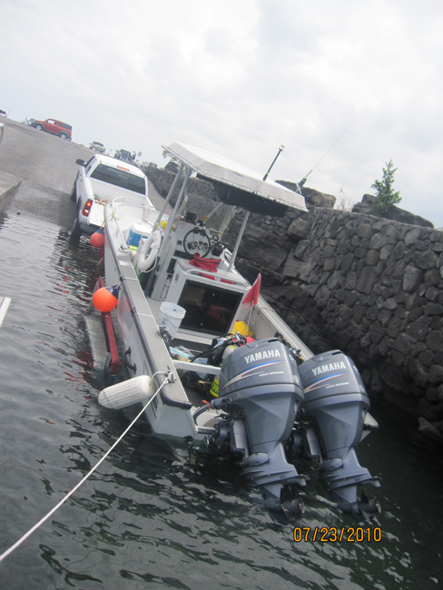
For my first day of work Sallie Beavers, Chief of Natural and Cultural Resources, gave me a safety briefing and covered all of the emergency plans, rules, and fundamentals of the diving program and boat operations in the park. Later, we went out to the boat to make sure everything was prepared for diving and that the proper essentials and emergency supplies were onboard to go out on the water.
The next day I renamed and organized photos taken during previous surveys to get a better feel for the reef surrounding the park and the project itself.
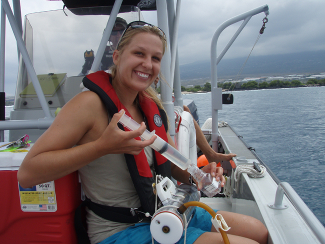
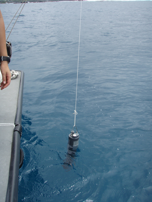
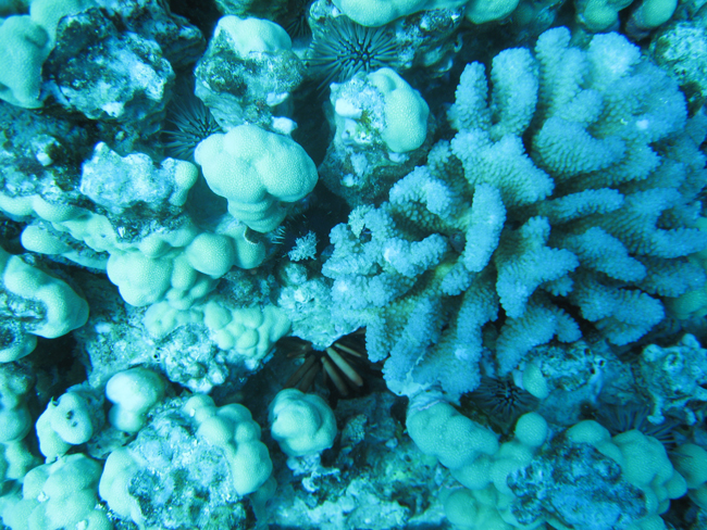
The day after that, we took the boat out to collect water quality samples from various sites around the outside of the fishpond, harbor, and bay. To collect samples, we submerged a tube with spring loaded doors into the water. The doors would shut when a weight was dropped down the string attached to the device. This traps the water in the tube at the desired depth. We surveyed 16 different sites and collected samples from both surface water and deeper water. While we collected samples, a water quality analyzer was lowered into the water to collect information about ocean conditions such as salinity, turbidity, and temperature. Also, Lindsey and I managed to squeeze in a dive to survey the reef.
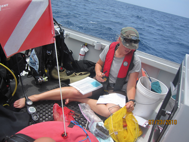
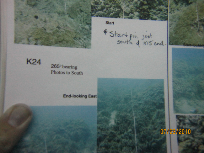
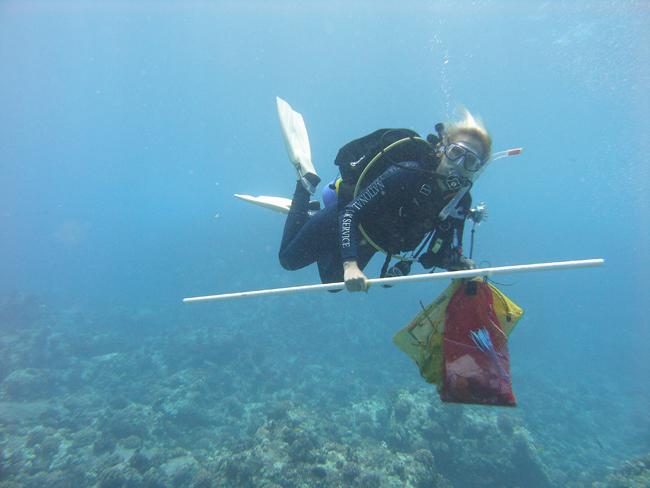
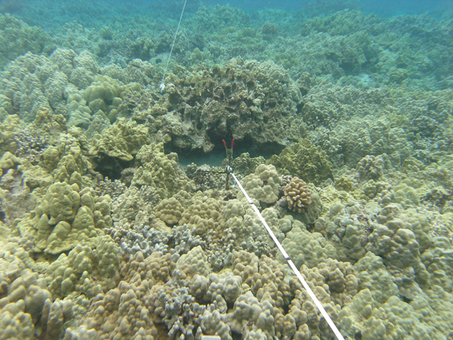
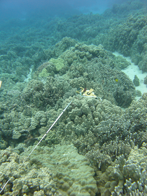
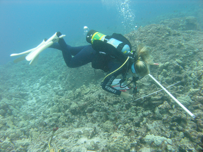
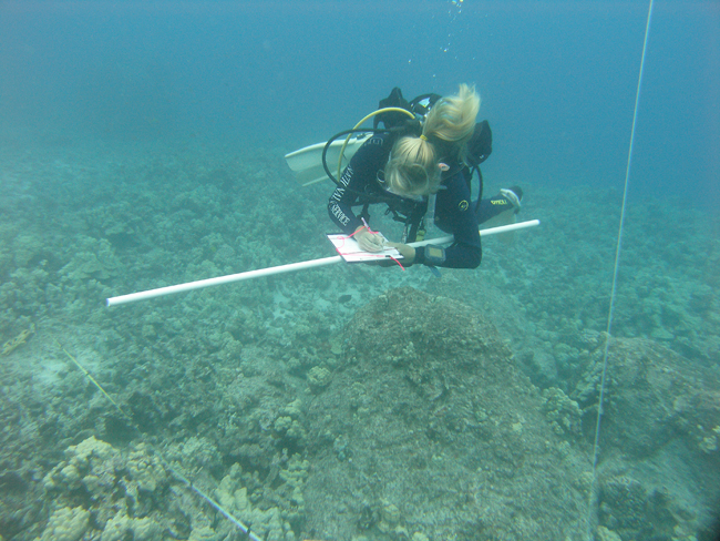
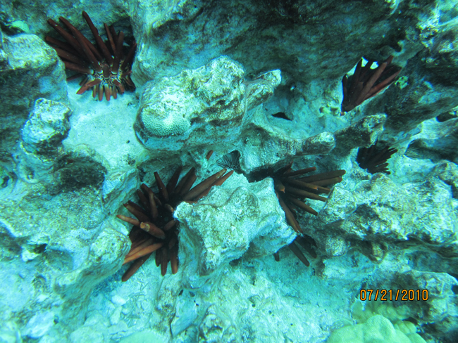
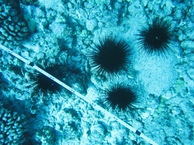
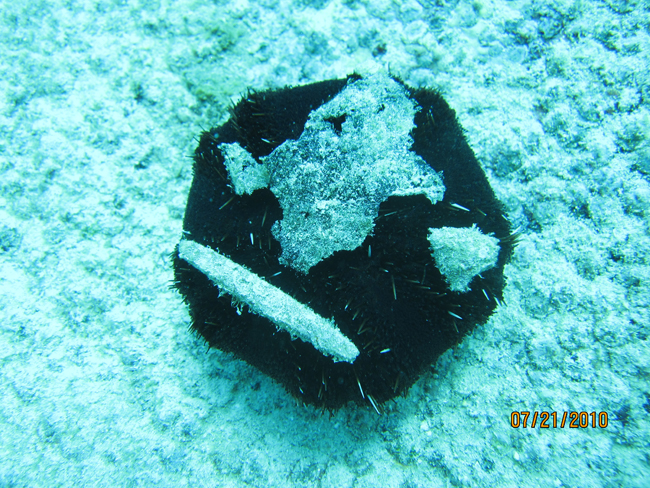
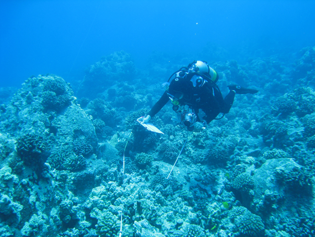
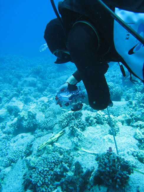
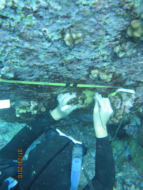
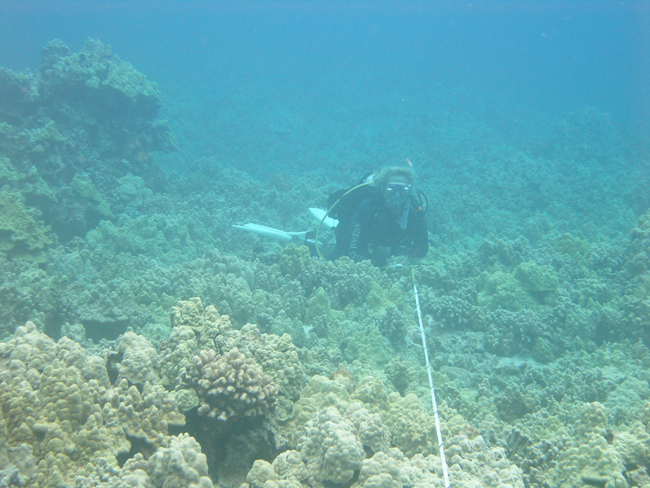
The methods they use to survey at Kaloko-Honokohau are very similar to those used by the researchers at Kalaupapa National Park, considering that they are part of the same Inventory and Monitoring project. First, we used GPS to swim on the surface to the location area of the marker pins, and then we dropped down to the bottom to begin our search for the pins on the bottom. Sometimes we found them immediately, other times it took longer. At Kaloko-Honokohau, unlike at Kalaupapa, the pins had zip ties attached to them, which made them easier to spot. Once we found the first pin or the starting pin, we rolled out meter tape by swimming on a compass bearing in the direction of the ending pin, which was not always easy to find. When we located both pins, we clamped the line down and pulled it taut between the two pins in order to be able to compare photographs taken from the same locations year after year. Once the tape was rolled out, I replaced the old zip ties that were encrusted with living organisms. Then, Lindsey swam along the transect line with a camera taking pictures every half meter while I moved along the line counting urchins. For the urchin counts, I swam along transect lines while holding a PVC pipe with tape in the center aligned above the transect line. Then, I counted all of the urchins that the pole went over. The pole served as a control for everyone to count urchins the same distance away from the meter tape without having variability among the observers. I recorded the numbers of rock boring urchins, red spined urchins, black banded urchins, long spined urchins and crown of thorns sea stars onto a waterproof datasheet. After Lindsey finished going down the line, she took photos of specific areas of coral that were marked with cable ties. Next, she took photos of the landscape in the directions of north, south, east, and west to help locate the site next year. Then, I rolled up the meter tape to conclude that transect.
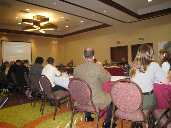
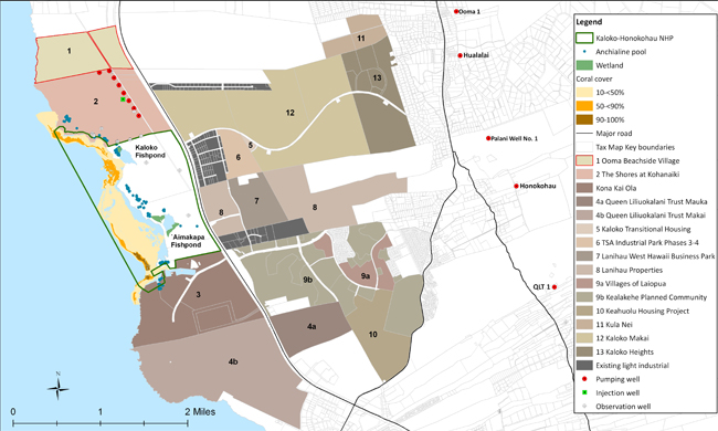
I learned about the relevance of that data the next day when I had the privilege to sit in on a State of Hawaii Land Use Commission meeting with Sallie Beavers and Superintendent, Kathy Billings. The goal of Kaloko-Honokohau’s participation in the meeting was to ensure that developers and contractors monitor their pumps to see how much water they are removing from the ground. Also, the park wants to ensure that contractors properly contain waste to make sure it does not flow directly into the ocean to protect the reef and pools which lie within park waters.
The sampling and surveying we are doing now represents the current status of the reef and pools and will be used as a baseline in the future. Since coastal development outside the park is going to continue in the years to come, resource managers at Kaloko-Honokohau are doing their best to protect the park resources from the negative impacts of urbanization. By following the “top to bottom” theory of the Hawaiian land distribution or ahupu’a, Kaloko-Honokohau National Park goes outside of park boundaries to protect what is inside the park. Only by managing the watershed above the park can they manage the reef and anchialine pools within the park. Since the groundwater is the life force for the ecosystems, any pollution or nutrients that go into the water directly affects the park.
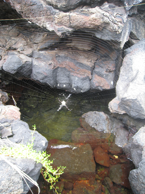
The development activity on the coast outside of the park pumps out groundwater that is essential for the anchialine pools in the park, which host rare life found in few other places on earth. Anchialine pools contain a mixture of ocean saltwater and fresh groundwater. When the flow of freshwater into the pools is reduced, the salinity goes above normal levels and the water cannot support the precious life that depends on the brackish environment.
Also, coastal development produces waste which eventually flows into the ocean through the watershed process. This leads to an increase in nutrients and nitrogen which can potentially harm the reef. The reason we are counting urchins is because they are herbivorous, or algae eating species. Greater levels of nutrients support more alga, and if the urchins are not there to control the algae it can overwhelm the reef and kill the coral. If anything negatively impacts the urchin population, it could in turn damage the reef. If the urchin population is known and the reef is documented while it is still healthy, it will help scientists and resource managers understand future changes and take measures to protect the aquatic environment.
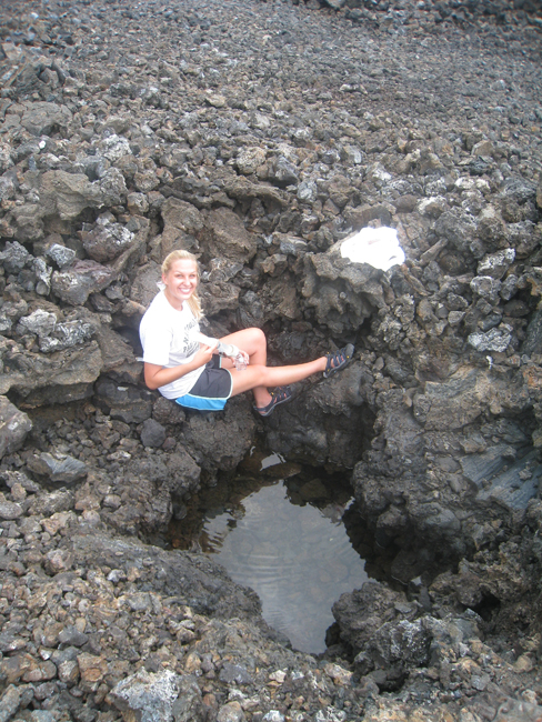
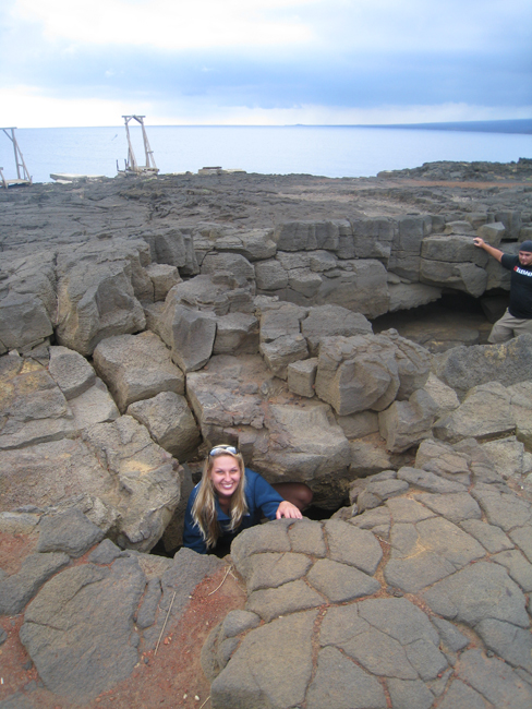
The following day I did more water quality sampling, this time in the anchialine pools. Our samples were analyzed for nutrients, salinity, temperature, and oxygen, among other components, because the anchialine pools are a good way to assess the quality of the watershed to see what is flowing into the ocean. Also, we recorded other notable characteristics such as the tidal cycle, the surrounding vegetation, and whether or not there were endangered shrimp present in the pools. The landscape we trekked over to get to the pools was interesting as well and I got to see the different types of volcanic rock and patterns the lava flow had formed. I learned about the ‘a’? lava which was rough and chunky and the p?hoehoe lava which was smooth and to me resembled thick pudding that had been poured and cooled. Also, we stopped to see the historic point of Queen’s Bath.
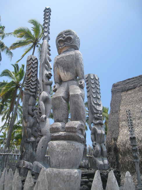
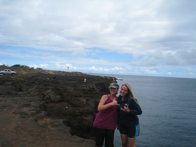
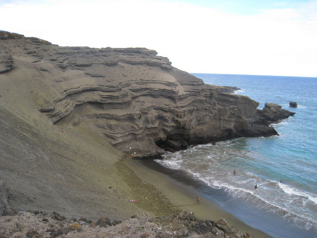
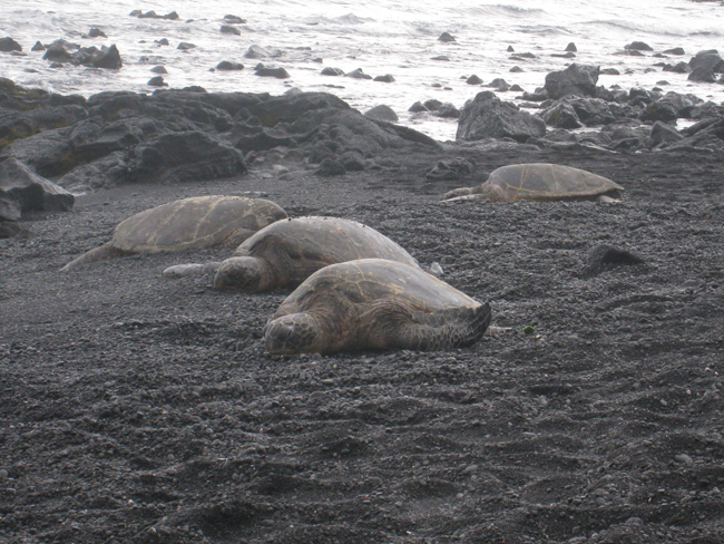
That weekend I took the opportunity to go with Lindsey and Derek to see Pu’uhonua o Honaunau or the “Place of Refuge” which was a significant sacred ground for ancient Hawaiians. It served as a safe haven for defeated warriors, non-combatants in times of war, and those who violated kapu or sacred laws, as no blood could be shed within its confines and crimes could be absolved there. I also got to see South Point, a green sand beach, and a black sand beach with sea turtles! I had a great time watching the landscape change as we drove around the island in and out of clouds of vog.
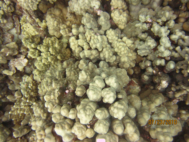
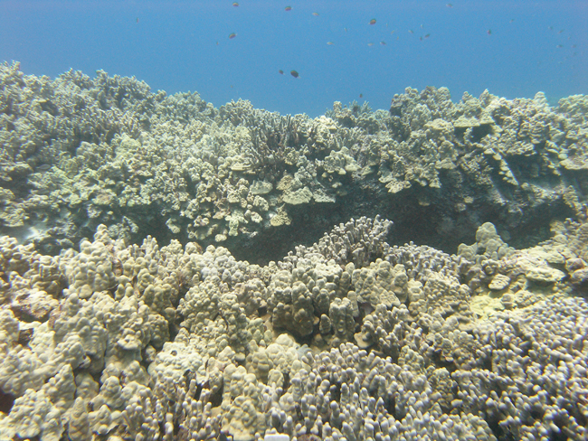
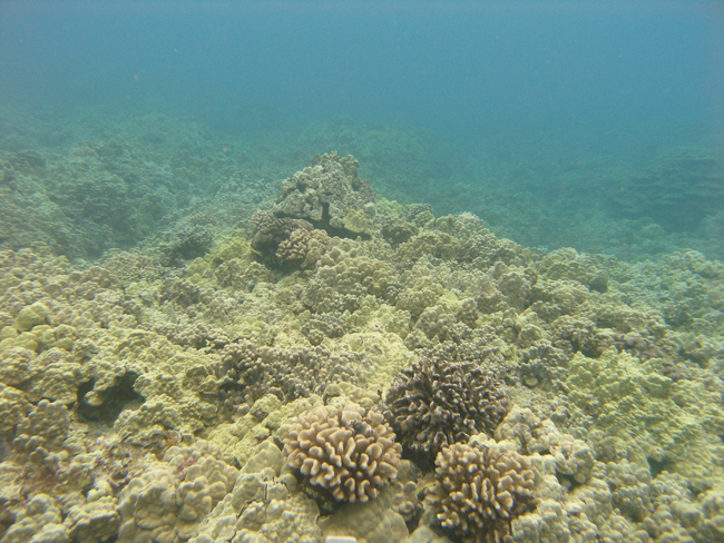
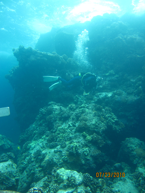
I dove every day the following week to do coral reef surveys. We started at 7:15 AM and usually ended at about 6:00 PM. Each day we loaded all necessary gear into the truck, headed down to the harbor, hitched up the boat, launched it into the water, dove all day, then got the boat out of the water, rinsed it and all of the gear, put it all away, uploaded photos, and prepared for the next day. Needless to say, I realized how hard the employees at Kaloko-Honokohau work when they do these surveys. Working several, 11-hour days in a row, while diving, certainly helped me sleep well at night. Also, even though the water was 80 degrees, spending so much time down there, I eventually got cold. We made about 4 dives a day which could last up to 80 minutes each. Since some of the sites were close together, we surveyed up to three sites in one dive, navigating in between them with prerecorded bearings. Overall, I thought the reef was beautiful and had a great time spending that much time underwater and diving with Lindsey. I also got the chance to see a Whitetip Reef Shark while I was diving.
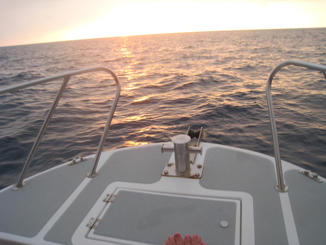
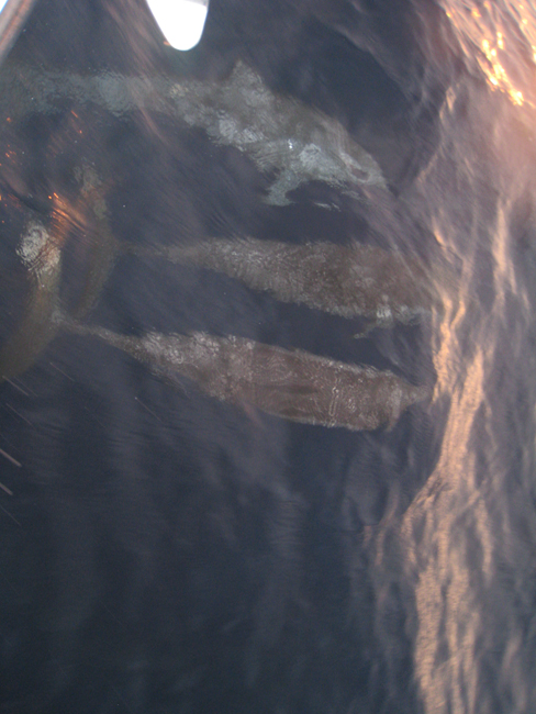
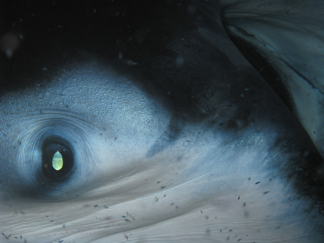
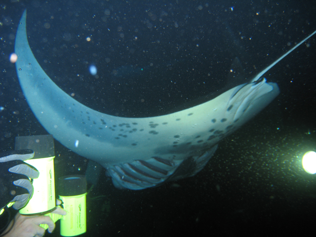
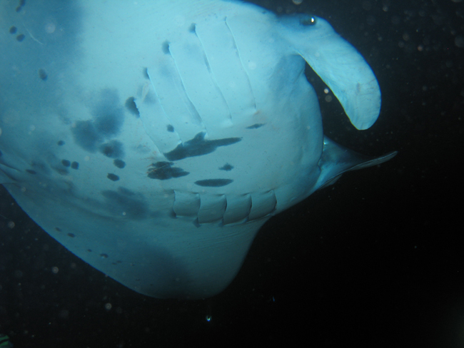
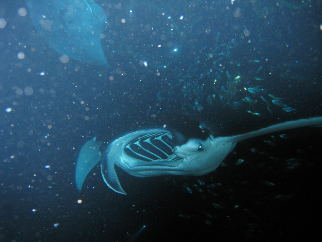
On Friday, after a day of survey diving, we arranged to go on a charted boat to dive with Manta Rays at night. I had heard it was an incredible experience, but didn’t really know what to expect. We boarded in the evening and watched the dolphins swimming off the bow as the sun set. Once we arrived to the site, we got a brief lecture of the rules, received our dive lights, and then descended into the black night water. There were several other groups of divers at the bottom, all with their lights in hand. Also, there were many snorkelers at the surface. I was sitting down at the bottom with my light shining up, and then a giant manta ray swam a few inches over my head. I squealed with delight as I watched several more mantas circle gracefully overhead. They made giant loops, swimming so close they would almost touch you, then swooping up at the last second. It was a truly magical experience that I will remember for the rest of my life.
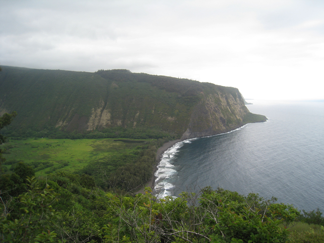
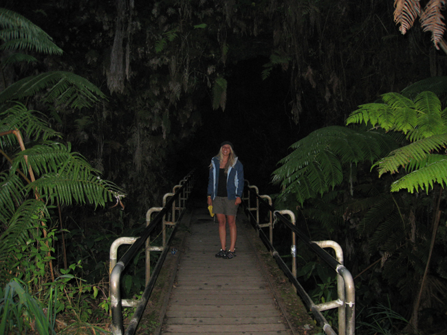
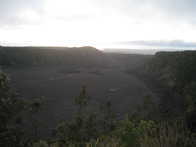
The next day Lindsey, Derek, and I headed over to the Hilo side of the island to see Hawaii Volcanoes National Park. The park shows the results of at least 70 million years of volcanism and is home to two of the world’s most active volcanoes, Kilauea and Mauna Loa. I visited Kilauea and walked through the Thurston Lava Tube, and saw the sulfur banks and steam vents. After the sunset, looking out from the Jagger Museum, a bright orange glow was visible from the inside of the Halema’uma’u Crater. It was quite astonishing to see the molten hot lava which is the place of creation and destruction of the earth’s crust. All and all it was an amazing day to conclude an amazing stay on the Big Island. I can’t wait to visit again!
I would like to give a sincere thank you to Sallie Beavers, Lindsey Kramer, Russ Gillespie, Kathy Billings, Colleen, Derek Kiernan, Coral Reef Divers, and all of those who work to keep the National Parks in Hawaii beautiful.


It is quite extraordinary to learn how much good work is being accomplished to protect the environment of Hawaii and to maintain the balance of nature that is so essential. Your introduction to the relationship the first Hawaiians had to the eco-system must be both enlightening and rewarding. Next to Ventura, Hawaii is my favorite place in the world, and I’m pleased to read that you can’t wait to return. Continue your wonderful narrative of your travels so literally we can be part of the adventure.